
File:Location Mauritania AU Africa.svg

Size of this PNG preview of this SVG file: 646 × 600 pixelwo. Other resolutions: 258 × 240 pixelwo | 517 × 480 pixelwo | 827 × 768 pixelwo | 1,103 × 1,024 pixelwo | 2,206 × 2,048 pixelwo | 1,400 × 1,300 pixelwo.
Gbale adoduia (SVG file, nominally 1,400 × 1,300 pixels, file size: 2.17 MB)
Nya kpui aɖe
| Numeɖeɖe |
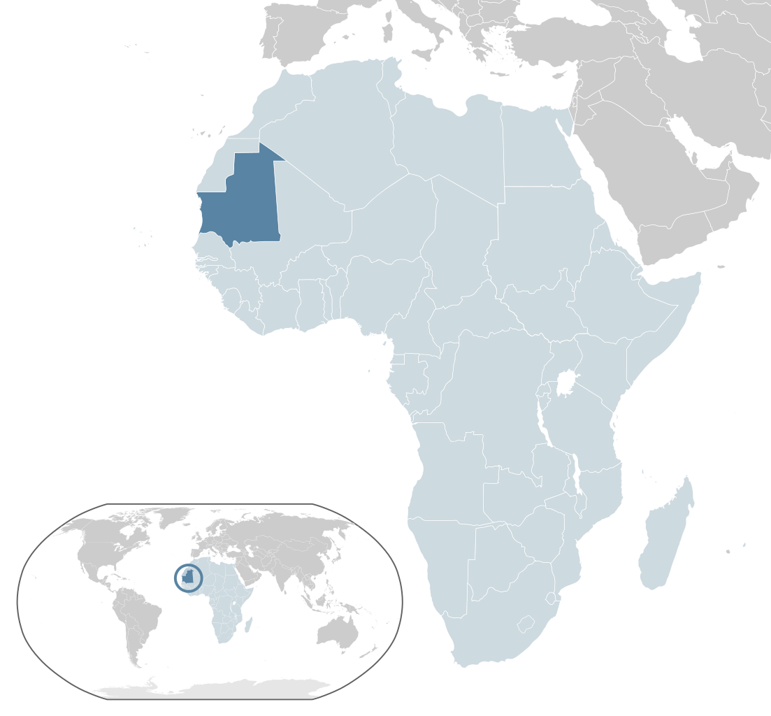
English: Map of Mauritania
Español: Mapa de Mauritania |
| Ŋkeke | |
| Nyatakatsoƒe | Own work |
| Ewɔla | Alvaro1984 18 |
Licensing
| I, the copyright holder of this work, release this work into the public domain. This applies worldwide. In some countries this may not be legally possible; if so: I grant anyone the right to use this work for any purpose, without any conditions, unless such conditions are required by law. |
Nutsɔ ʋuvayiwo
Tia ŋkeke/gaƒoƒo ɖeka ne wòadi be yea kpɔ axa sia ƒe tata le ɣemaɣi
| Ŋkeke/Gaƒoƒo | Nɔnɔmetata sue aɖe | Goglome | Ezãla | Comment | |
|---|---|---|---|---|---|
| fifia | 10:07, 13 Dzodze 2017 | | 1,400 × 1,300 (2.17 MB) | Chipmunkdavis | Updating Morocco |
| 20:07, 2 Dasiamime 2013 |  | 1,400 × 1,300 (2.17 MB) | Flappiefh | Added South Sudan. | |
| 14:58, 28 Siamlɔm 2009 |  | 1,400 × 1,300 (2.17 MB) | Alvaro1984 18 | {{Information |Description={{en|1=Map of Mauritania}} {{es|1=Mapa de Mauritania}} |Source=trabajo propio (own work) |Author=Alvaro1984 18 |Date=30/07/2009 |Permission= |other_versions= }} Category:Location maps of Africa [[Cate |
Nyatakagbaa zazã
Axa sia ku ɖe agbalẽ sia ŋu:
Xexe me godoo ƒe agbale zaza
The following other wikis use this file:
- Ezã ady.wikipedia.org
- Ezã af.wikipedia.org
- Ezã ami.wikipedia.org
- Ezã az.wikipedia.org
- Ezã be.wikipedia.org
- Ezã bg.wikipedia.org
- Ezã bh.wikipedia.org
- Ezã bn.wikipedia.org
- Ezã ca.wikipedia.org
- Ezã ceb.wikipedia.org
- Ezã chr.wikipedia.org
- Ezã el.wikipedia.org
- Ezã en.wikipedia.org
- Ezã fa.wikipedia.org
- Ezã fi.wikipedia.org
- Ezã fr.wikipedia.org
- Ezã gu.wikipedia.org
- Ezã ha.wikipedia.org
- Ezã hi.wikipedia.org
- Ezã hr.wikipedia.org
- Ezã hu.wikipedia.org
- Ezã id.wikipedia.org
- Ezã ie.wikipedia.org
- Ezã ilo.wikipedia.org
- Ezã incubator.wikimedia.org
- Ezã ja.wikipedia.org
- Ezã kk.wikipedia.org
- Ezã km.wikipedia.org
- Ezã lb.wikipedia.org
- Ezã lg.wikipedia.org
- Ezã lv.wikipedia.org
- Ezã mt.wikipedia.org
- Ezã my.wikipedia.org
- Ezã mzn.wikipedia.org
- Ezã ne.wikipedia.org
- Ezã olo.wikipedia.org
- Ezã om.wikipedia.org
- Ezã pl.wikipedia.org
View more global usage of this file.