
File:LocationLesotho.svg

Size of this PNG preview of this SVG file: 800 × 400 pixelwo. Other resolutions: 320 × 160 pixelwo | 640 × 320 pixelwo | 1,024 × 512 pixelwo | 1,280 × 640 pixelwo | 2,560 × 1,280 pixelwo | 1,000 × 500 pixelwo.
Gbale adoduia (SVG file, nominally 1,000 × 500 pixels, file size: 2.76 MB)
This W3C-unspecified vector image was created with Inkscape .
| Numeɖeɖe |
Русский: Местонахождение Лесото.
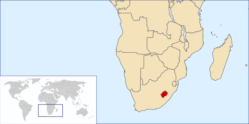
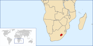
English: Lesotho Location.
עברית: מיקום לסוטו. |
| Ŋkeke | |
| Nyatakatsoƒe | Original by User:Vardion, Image:A large blank world map with oceans marked in blue.svg |
| Ewɔla | Mandavi |
| Mɔɖeɖe (Fael sia ƒe gbugbɔgazã) |
Own work, copyleft: Multi-license with GFDL and Creative Commons CC-BY-SA-2.5 and older versions (2.0 and 1.0) |
| Other versions | Derivative works of this file: Lesotho South Africa Locator.png |
I, the copyright holder of this work, hereby publish it under the following licenses:

|
Permission is granted to copy, distribute and/or modify this document under the terms of the GNU Free Documentation License, Version 1.2 or any later version published by the Free Software Foundation; with no Invariant Sections, no Front-Cover Texts, and no Back-Cover Texts. A copy of the license is included in the section entitled GNU Free Documentation License. |
| This file is licensed under the Creative Commons Attribution-Share Alike 3.0 Unported license. | ||
| ||
| This licensing tag was added to this file as part of the GFDL licensing update. |
This file is licensed under the Creative Commons Attribution-Share Alike 2.5 Generic, 2.0 Generic and 1.0 Generic license.
- You are free:
- na ma – to copy, distribute and transmit the work
- to remix – to adapt the work
- Under the following conditions:
- attribution – You must give appropriate credit, provide a link to the license, and indicate if changes were made. You may do so in any reasonable manner, but not in any way that suggests the licensor endorses you or your use.
- miakpɔ gome ɖekae – If you remix, transform, or build upon the material, you must distribute your contributions under the same or compatible license as the original.
You may select the license of your choice.
Nutsɔ ʋuvayiwo
Tia ŋkeke/gaƒoƒo ɖeka ne wòadi be yea kpɔ axa sia ƒe tata le ɣemaɣi
| Ŋkeke/Gaƒoƒo | Nɔnɔmetata sue aɖe | Goglome | Ezãla | Comment | |
|---|---|---|---|---|---|
| fifia | 15:14, 30 Dame 2007 | | 1,000 × 500 (2.76 MB) | Mandavi | {{created with Inkscape}} {{Information |Description= * ''(de)'' Lesotho |Source=Original by User:Vardion, Image:A large blank world map with oceans marked in blue.svg |Date=30 Mai 2007 (UTC) |Permission=Own work, copyleft: Multi-license with GFD |
Nyatakagbaa zazã
Axa sia ku ɖe agbalẽ sia ŋu:
Xexe me godoo ƒe agbale zaza
The following other wikis use this file:
- Ezã af.wikipedia.org
- Ezã am.wikipedia.org
- Ezã ang.wikipedia.org
- Ezã an.wikipedia.org
- Ezã ar.wikipedia.org
- Ezã arz.wikipedia.org
- Ezã ast.wikipedia.org
- Ezã az.wikipedia.org
- Ezã ban.wikipedia.org
- Ezã be-tarask.wikipedia.org
- Ezã be.wikipedia.org
- Ezã bg.wikipedia.org
- Ezã bjn.wikipedia.org
- Ezã bm.wikipedia.org
- Ezã bn.wikipedia.org
- Ezã bo.wikipedia.org
- Ezã br.wikipedia.org
- Ezã ca.wikipedia.org
- Ezã ckb.wikipedia.org
- Ezã cs.wikipedia.org
- Ezã cy.wikipedia.org
- Ezã de.wikipedia.org
- Ezã el.wiktionary.org
- Ezã en.wikipedia.org
- Geography of Lesotho
- Basutoland
- List of enclaves and exclaves
- Enclave and exclave
- User:Chris huh/List of African countries
- Portal:Africa/Countries/Selected country
- Portal:Africa/Countries/Selected country/26
- Outline of Lesotho
- User:Jeffdaro/Sandbox
- United Nations Security Council Resolution 535
- Template:Did you know nominations/Monarchies in Africa
- Ezã eo.wikipedia.org
- Ezã es.wikinews.org
- Ezã et.wikipedia.org
- Ezã eu.wikipedia.org
- Ezã ext.wikipedia.org
- Ezã fa.wikipedia.org
View more global usage of this file.