
File:Iowa in United States.svg

Size of this PNG preview of this SVG file: 800 × 495 pixelwo. Other resolutions: 320 × 198 pixelwo | 640 × 396 pixelwo | 1,024 × 634 pixelwo | 1,280 × 792 pixelwo | 2,560 × 1,585 pixelwo | 1,181 × 731 pixelwo.
Gbale adoduia (SVG file, nominally 1,181 × 731 pixels, file size: 3.46 MB)
Nya kpui aɖe
| Numeɖeɖe |
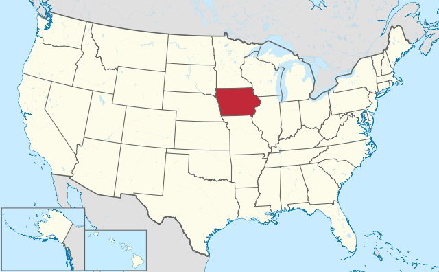
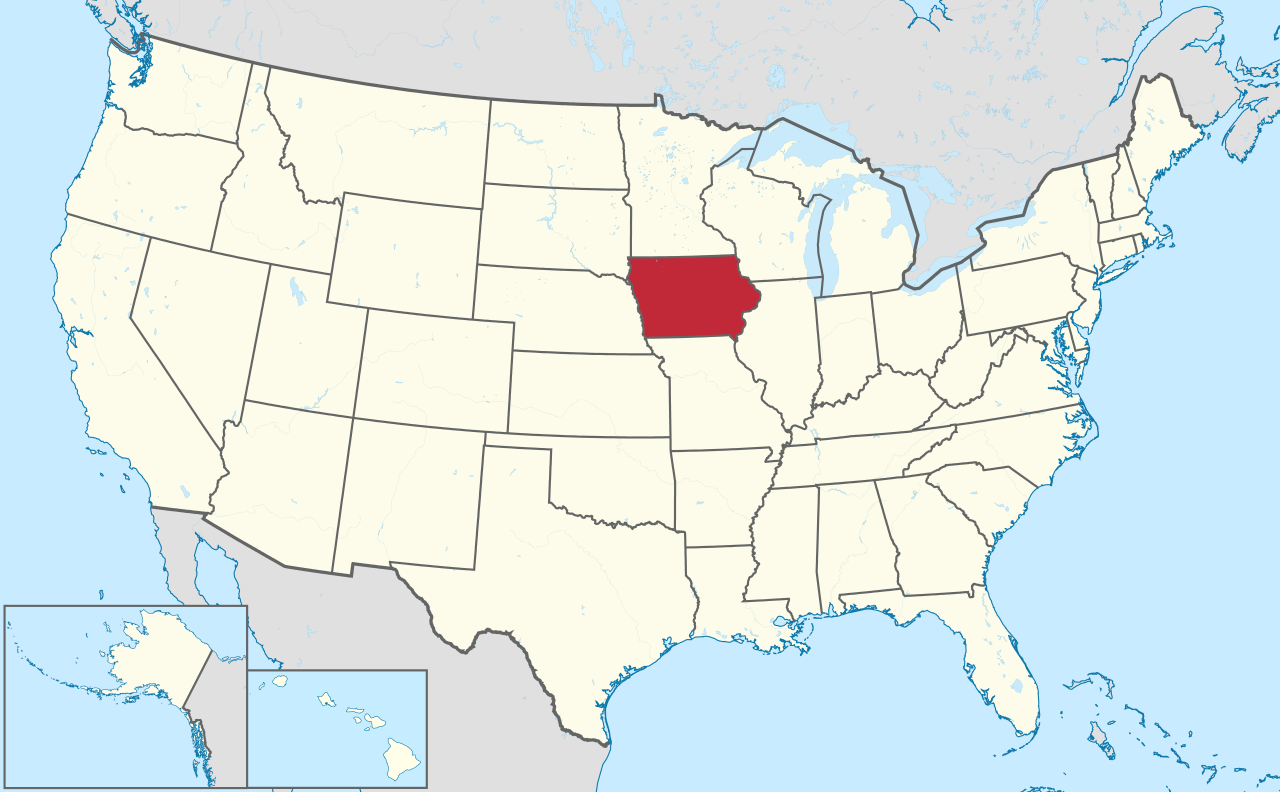
Deutsch: Lage von Iowa in den Vereinigten Staaten.
English: Location of state of Iowa in the United States. |
| Ŋkeke | |
| Nyatakatsoƒe |
Own work |
| Ewɔla |
TUBS |
| SVG genesis | This oversized W3C-invalid locator map was created with Adobe Illustrator by TUBS, and with Inkscape. This large W3C-invalid SVG locator map was uploaded with Commonist. This Adobe SVG locator map is very large because TUBS kept the superfluous Adobe PGF or other CDATA garbage . |
Licensing
I, the copyright holder of this work, hereby publish it under the following license:
This file is licensed under the Creative Commons Attribution-Share Alike 3.0 Unported license.
- You are free:
- na ma – to copy, distribute and transmit the work
- to remix – to adapt the work
- Under the following conditions:
- attribution – You must give appropriate credit, provide a link to the license, and indicate if changes were made. You may do so in any reasonable manner, but not in any way that suggests the licensor endorses you or your use.
- miakpɔ gome ɖekae – If you remix, transform, or build upon the material, you must distribute your contributions under the same or compatible license as the original.

|
I'd greatly appreciate, that you attribute this media file to Wikimedia Commons, if used outside Wikipedia or Commons. For use in publications such as books, newspapers, blogs, websites, please insert here the following line:
|
Nutsɔ ʋuvayiwo
Tia ŋkeke/gaƒoƒo ɖeka ne wòadi be yea kpɔ axa sia ƒe tata le ɣemaɣi
| Ŋkeke/Gaƒoƒo | Nɔnɔmetata sue aɖe | Goglome | Ezãla | Comment | |
|---|---|---|---|---|---|
| fifia | 16:45, 30 Siamlɔm 2011 | | 1,181 × 731 (3.46 MB) | TUBS |
Nyatakagbaa zazã
Axa sia ku ɖe agbalẽ sia ŋu:
Xexe me godoo ƒe agbale zaza
The following other wikis use this file:
- Ezã am.wikipedia.org
- Ezã ang.wikipedia.org
- Ezã ar.wikipedia.org
- Ezã ary.wikipedia.org
- Ezã arz.wikipedia.org
- Ezã ast.wikipedia.org
- Ezã azb.wikipedia.org
- آیووا
- موسکاتین بؤلگهسی، ایووا
- دالاس بؤلگهسی، ایووا
- وارن بؤلگهسی، ایووا
- واشینقتون بؤلگهسی، ایووا
- دز موینز بؤلگهسی، ایووا
- دیکینزون بؤلگهسی، ایووا
- بنتون بؤلگهسی، ایووا
- پولک بؤلگهسی، ایووا
- بلک هاوک بؤلگهسی، ایووا
- برمر بؤلگهسی، ایووا
- قروندی بؤلگهسی، ایووا
- قوتری بؤلگهسی، ایووا
- وودبوری بؤلگهسی، ایووا
- کلای بؤلگهسی، ایووا
- وورت بؤلگهسی، ایووا
- ایسکات بؤلگهسی، ایووا
- جفرزون بؤلگهسی، ایووا
- جانسون بؤلگهسی، ایووا
- جونز بؤلگهسی، ایووا
- لی بؤلگهسی، ایووا
- مادیسون بؤلگهسی، ایووا
- لوییا بؤلگهسی، ایووا
- Ezã az.wikipedia.org
- Ezã bat-smg.wikipedia.org
- Ezã be.wikipedia.org
- Ezã bew.wikipedia.org
- Ezã bg.wikipedia.org
- Ezã bs.wikipedia.org
- Ezã ca.wikipedia.org
- Ezã cbk-zam.wikipedia.org
- Ezã cdo.wikipedia.org
- Ezã ceb.wikipedia.org
- Ezã ckb.wikipedia.org
- Ezã crh.wikipedia.org
- Ezã cs.wikipedia.org
- Ezã cy.wikipedia.org
View more global usage of this file.